Browse Items (262 total)
- Tags: collection
Sort by:
Two girls and a boy
This is a photograph of two girls and a boy
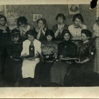
Women with caroling book
This is a photograph of Women with caroling book
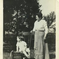
Woman and Child in Rocking Chair
This is a photograph of Woman and child in rocking chair
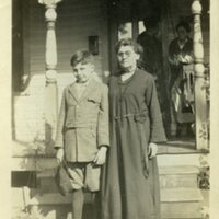
Woman and boy
This is a photograph of Woman and a boy
Tags: boy, collection, Decatur IL, Decatur Public Library, photographs, VFC101, Virgin Family, woman
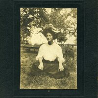
Woman sitting on the grass
This is a photograph of Woman sitting on the grass
Woman Picking Fruit
This is a photograph of Woman picking fruit
Woman on Porch
This is a photograph of Woman on the porch
Women by stairs
This is a photograph of Woman by stairs
Willie Kerr
This is a photograph of Willie Kerr
Wedding Party
This is a photograph of a wedding party


