Browse Items (9378 total)
Sort by:
William Malone's Daughters - Lena, Minnie, and Ruth
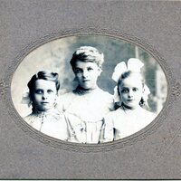
These are pictures of William Malone daughters, Lena, Minnie, and Ruth
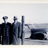

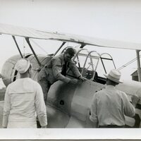
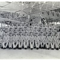
George Reynolds shakes hand with Admiral Ginder

These are pictures of George Reynolds shaking hands with Admiral Ginder in 1945
Ruth Malone Family - People on Steps
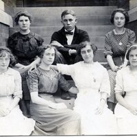
This is a picture of people on the steps in the Ruth Malone Family