Browse Items (281 total)
- Tags: collection
Sort by:
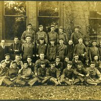
Snell Workers
This is a photograph of Snell workers
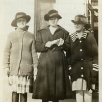
Three Unknown Women
This is a photograph of an three unknown women
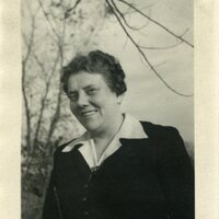
Unknown Woman
This is a photograph of an unknown woman
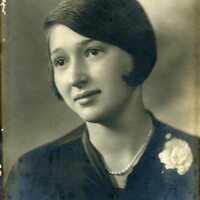
Unknown Woman
This is a photograph of an unknown woman
Unknown Woman
This is a photograph of an unknown woman
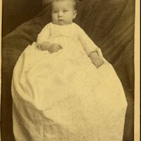
Unknown baby
This is a photograph of an unknown baby taken at the Chicago Company
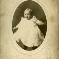
Unknown baby
This is a photograph of an unknown baby taken at LeForgee Studio's
Mary Louise - Jean - Travis
This is a photograph of Mary Louise, Jean, and Travis
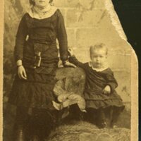
A girl and a boy
This is a photograph of an unknown girl and a boy
Tags: boy, collection, Decatur IL, Decatur Public Library, girl, photographs, SFC02, Snell family
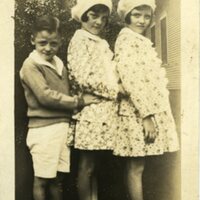
Two girls and a boy
This is a photograph of two girls and a boy

