Browse Items (9232 total)
Sort by:
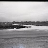
Photos of S. Franklin Street, Building and Aerial Views
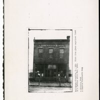
Photograph of building located at S. 136 Franklin St. "Print from glass negatives found in a Decatur attic Feb. 1956. Dunston Blacksmith Shop. Aerial photographs of S. Franklin Street, Decatur, IL.
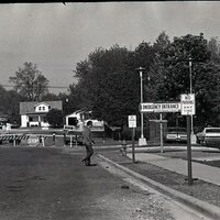
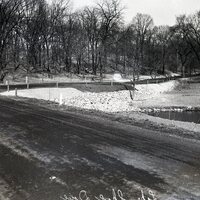
Photos of the Garfield Ave. Viaduct Construction Late 1950's.
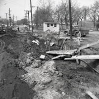
Photograph of Garfield Viaduct construction. Aerial views of the Garfield Viaduct construction. Photograph of a cars using the new Garfield Viaduct. Photograph of the underside of the viaduct. Photograph of children at the ribbon cutting of the…
Photo of Manecke Cider Mill on West Harrison Street, Decatur, IL.
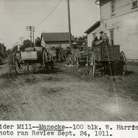
Photograph "Cider Mill--Manecke--100 Block W. Harrison. Photo ran Review Sept. 24, 1911."
Photos of the Area Known as the Levee District
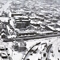
Aerial photograph of the Levee District. Photograph "Building--Maryland, N. 517. This old frame house stood at 517 N. Maryland street at Front St. It was first used as a Boarding house and was said to be the first house on the "levee." It was used as…
Photo of 300 Block Linden Place, Decatur, IL.
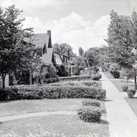
Photograph of houses on the 300 Block of Linden Place, Decatur, IL.
Photos of N. Main St. 1950's and 1960's
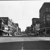
Photograph of N. Main St. buildings, transfer house in background. Photograph of parade on 6/20/1965. Photograph of busy intersection N. Main, c. 1950.
Photo of 200 Block S. McClellan getting paved
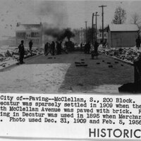
Photograph "Decatur, City of --Paving--McClellan, S. 200 Block. The west part of Decatur was sparsely settled in 1909 when the 200 block south McClellan Avenue was paved with brick. First asphalt paving in Decatur was used in 1895 when Merchant…