Browse Items (184 total)
- Tags: Streets
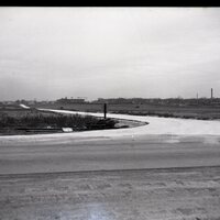
Photo of Olive Street, Decatur, IL.
Tags: 10/30/1943, Decatur IL., Olive Street, Rural Area, ST988, Streets
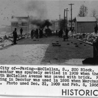
Photo of 200 Block S. McClellan getting paved
Tags: 12/31/1909, 1956, 200 Block, Asphalt, Brick, Feb. 5, Paving, S. McClellan, ST987, Streets
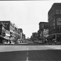
Photos of N. Main St. 1950's and 1960's
Tags: 1950, 6/20/1965, 9/13/1951, Bachmans, Black & Co., Buildings, Drug Store, intersection, J. R. Motor Supply, N. Main St., Parade, Quigles, ST977, ST980, ST982, Streets
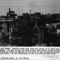
Miscellaneous Photos of North Main Street, Decatur, IL. Early 1900's.
Tags: 700 Block N. Main, Buildings, crowd, E. William St., Firestone Garage, Library Block, N. Main St., North St., Paving Machine, people, Post Office, Rembrandt Studio, Seitz Studio, ST975, ST976, ST978, ST979, ST981, ST983, ST984, ST985, Street Cars, Streets, Suffern-Hunt Mill, Wabash R. R. Crossing
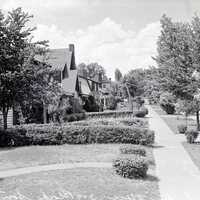
Photo of 300 Block Linden Place, Decatur, IL.
Tags: 300 Block Linden, Decatur IL., houses, Linden Place, ST974, Streets
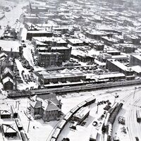
Photos of the Area Known as the Levee District
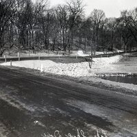
Photos of Lake Shore Drive late 1930's.
Photo of Hay Street Closed
Tags: Decatur IL., Hay Street, ST962, Street Closed, Streets
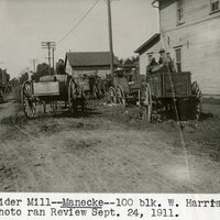
Photo of Manecke Cider Mill on West Harrison Street, Decatur, IL.
Tags: 100 Block, 9/24/1911, Decatur IL., Manecke Cider Mill, ST961, Streets, W. Harrison
Photos of the Garfield Ave. Viaduct Construction Late 1950's.
Tags: Aerial Views, Construction, Garfield Ave., Garfield Viaduct, Overpass, Ribbon Cutting, ST955, ST956, ST957, ST958, ST959, ST960, Streets

